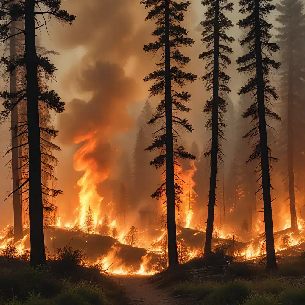
Sensor networks and IoT technologies have revolutionized the way we approach the monitoring and management of natural disasters, particularly wildfires. The increasing frequency and severity of wildfires worldwide have underscored the urgent need for advanced techniques and innovative solutions to enhance emergency response and mitigate the devastating consequences of these events.
One promising approach lies in the integration of unmanned aerial vehicles (UAVs) and artificial intelligence (AI) for comprehensive wildfire management. UAVs equipped with various sensors and imaging devices can provide real-time data collection and high-resolution aerial monitoring, while AI-powered algorithms can process this information to enable early detection, rapid response, and data-driven decision-making.
Sensor-networks.org is at the forefront of exploring these advancements, offering a comprehensive overview of the latest developments in sensor network technologies and their applications in diverse domains, including wildfire management.
Sensor Networks and UAVs: Revolutionizing Wildfire Monitoring
The integration of sensor networks and UAV technologies has significantly enhanced the capabilities of wildfire monitoring and management. UAVs can be equipped with a wide range of sensors, including thermal cameras, multispectral imagers, and LiDAR, enabling them to gather critical data on various aspects of wildfires, such as fire progression, heat signatures, and vegetation conditions.
By deploying a network of strategically placed UAVs, emergency responders and land management agencies can obtain a comprehensive, real-time view of the fire’s behavior and dynamics. This information is crucial for making informed decisions regarding resource allocation, evacuation planning, and fire suppression strategies.
Moreover, the AI-powered algorithms developed for these UAV systems can automate various tasks, such as fire detection, smoke identification, and hotspot tracking. These advanced techniques leverage machine learning (ML) and deep learning (DL) models to analyze the collected data and provide early warning signals, enabling a more proactive and efficient response to emerging fire events.
Adaptive Algorithms for Wildfire Monitoring
One of the key innovations in this field is the development of adaptive algorithms that can effectively respond to the dynamic nature of wildfires. These algorithms are designed to optimize the deployment and coordination of UAV fleets, ensuring comprehensive coverage and efficient data collection throughout the various stages of a wildfire event.
Predictive Modeling and Pre-Fire Management
Prior to the outbreak of a wildfire, predictive modeling techniques can be employed to assess the risk and potential behavior of the fire. By integrating UAV-derived data with weather forecasts, fuel load information, and historical fire patterns, these models can help identify high-risk areas and guide pre-fire mitigation strategies, such as strategic fuel management and evacuation planning.
AI-enabled UAVs can play a crucial role in this stage by conducting detailed fuel monitoring and vegetation mapping, providing the necessary data to refine these predictive models and inform decision-makers.
Active-Fire Management and Response
During the active-fire phase, UAV-based systems equipped with advanced computer vision algorithms can rapidly detect, monitor, and track the progress of the wildfire. DL-based techniques for fire detection, classification, and segmentation can accurately identify the fire’s location, intensity, and spread, enabling real-time situational awareness and facilitating effective firefighting operations.
Moreover, reinforcement learning (RL) algorithms can be employed to optimize the deployment and coordination of UAV fleets, ensuring comprehensive coverage and efficient data collection throughout the dynamic fire event.
Post-Fire Assessment and Rehabilitation
In the aftermath of a wildfire, UAVs can be instrumental in assessing the extent of the damage and supporting the rehabilitation of affected ecosystems. High-resolution aerial imagery captured by UAVs can be used to monitor vegetation regrowth, map burn scars, and identify areas in need of targeted restoration efforts.
Additionally, the integration of augmented reality (AR) and virtual reality (VR) technologies can enhance training and safety protocols for the workforce involved in post-fire recovery operations, providing an immersive environment for planning and executing these critical tasks.
Challenges and Future Directions
While the integration of sensor networks, UAVs, and AI has significantly advanced the capabilities of wildfire management, several challenges remain to be addressed:
-
Limited Endurance and Range: Current UAV technologies often face constraints in terms of flight time and operational range, limiting their ability to provide continuous monitoring and coverage over vast wildfire-prone areas.
-
Sensor Integration and Data Processing: The vast amount of data collected from various sensors, such as multispectral and hyperspectral imagers, requires efficient processing, storage, and analysis to derive meaningful insights in real-time.
-
Adverse Weather Conditions: Wildfires often occur in challenging environmental conditions, such as strong winds or low visibility due to smoke, which can impact the performance and reliability of UAV operations.
-
Regulatory Frameworks: The deployment of UAVs in wildfire-prone areas can be subject to diverse global regulatory frameworks, adding complexity to the implementation and coordination of these systems.
To address these challenges, ongoing research and development efforts are focused on improving battery technologies, enhancing sensor capabilities, and advancing data analytics algorithms. Additionally, interdisciplinary collaboration among experts in UAV technology, meteorology, fire ecology, and policy-making is crucial for developing holistic and effective solutions.
By continually innovating and overcoming these obstacles, the integration of sensor networks, UAVs, and AI will continue to play a pivotal role in enhancing the efficiency and effectiveness of wildfire management, ultimately contributing to the protection of lives, properties, and natural ecosystems.
Conclusion
The convergence of sensor networks, UAV technologies, and AI-powered algorithms has revolutionized the way we approach wildfire monitoring and management. Distributed algorithms for adaptive wildfire monitoring have demonstrated the ability to provide real-time situational awareness, enable rapid response, and support data-driven decision-making throughout the various stages of a wildfire event.
By leveraging the capabilities of UAVs and advanced AI techniques, emergency responders and land management agencies can better anticipate, detect, and mitigate the devastating impacts of wildfires, ultimately enhancing the overall resilience and preparedness of communities facing these natural disasters.
As the field of sensor networks and IoT continues to evolve, the integration of these technologies with UAVs and AI will undoubtedly lead to even more sophisticated and effective solutions for wildfire management, contributing to a safer and more sustainable future.