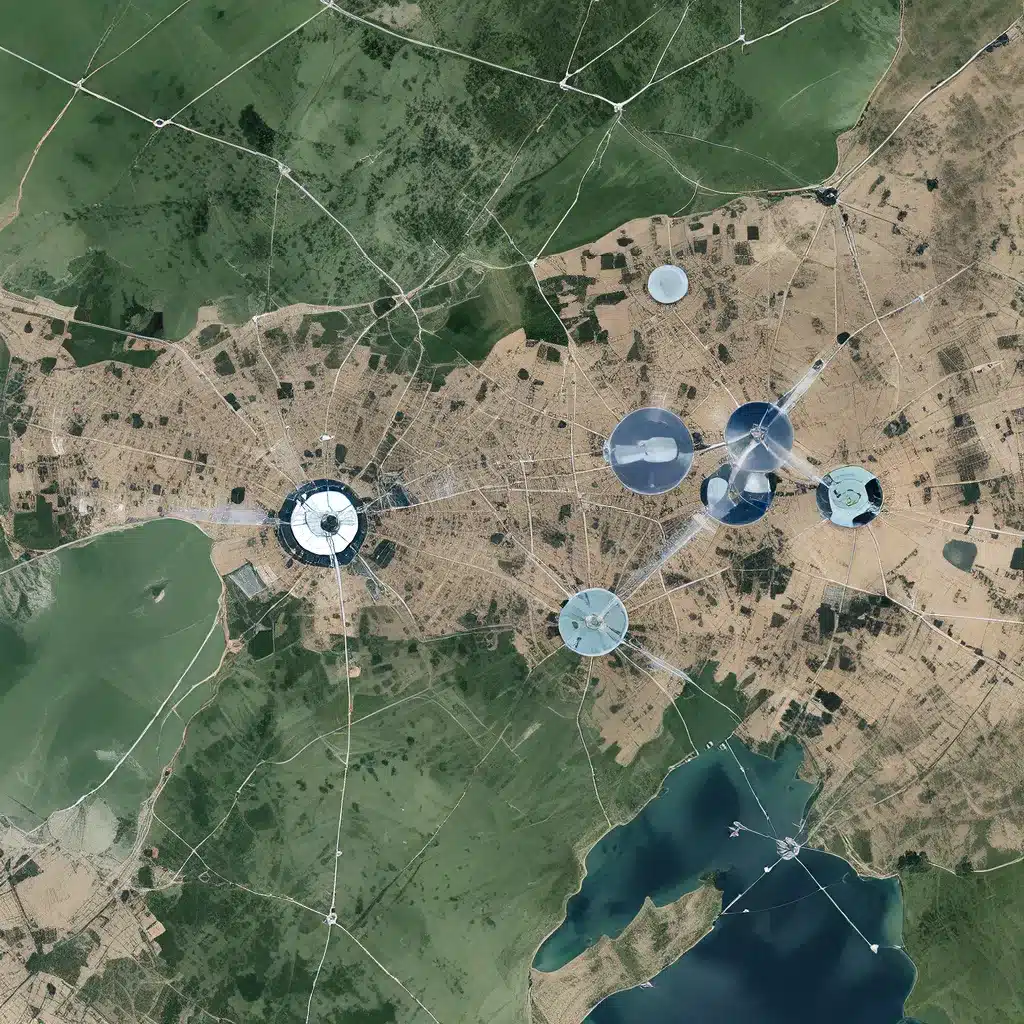
Satellite Integration for Comprehensive Monitoring and Response
In an increasingly complex and interconnected world, the need for robust and reliable sensor networks has never been more crucial. These intricate webs of interconnected devices, powered by advanced technologies, play a pivotal role in enhancing situational awareness and enabling swift, data-driven decision-making. At the forefront of this transformation is the seamless integration of satellite-derived data into sensor network architectures, unlocking a new frontier of possibilities for industries, governments, and communities alike.
Expanding the Reach of Sensor Networks
Sensor networks have long been a cornerstone of modern IoT (Internet of Things) applications, delivering invaluable data and insights across a wide range of sectors. From smart cities monitoring air quality and traffic patterns to precision agriculture optimizing crop yields, these networked systems have revolutionized the way we interact with and understand our environments. However, traditional sensor networks often face limitations in terms of geographic coverage, particularly in remote or hard-to-reach areas.
Satellite-based technologies have emerged as a game-changer, providing a powerful solution to overcoming these geographic barriers. By integrating satellite communication and Earth Observation (EO) data into sensor network architectures, organizations can now extend their monitoring capabilities to even the most inaccessible regions. This newfound spatial awareness empowers decision-makers with a comprehensive, real-time understanding of their areas of operation, enabling more informed and targeted responses to evolving situations.
Enhancing Situational Awareness in Critical Domains
The integration of satellite-derived data into sensor networks has proven particularly valuable in critical domains where timely and accurate information is paramount. In the realm of maritime security, for instance, the fusion of satellite Automatic Identification System (AIS) data with sensor networks has revolutionized the monitoring and tracking of vessels, including the detection of “dark” or unidentified vessels. Similarly, in the field of disaster management, the incorporation of satellite imagery and GPS-derived data into sensor networks has enabled more efficient coordination of search and rescue operations, as well as the rapid assessment of infrastructure damage in the aftermath of natural disasters.
Beyond these critical applications, the interplay between sensor networks and satellite-derived data has also found success in infrastructure monitoring, environmental protection, and public safety. By leveraging the high-resolution, real-time data provided by satellites, organizations can now better detect and respond to threats, risks, and anomalies that may otherwise go unnoticed by traditional ground-based sensors alone.
Addressing Challenges in Sensor Network Design
As the integration of satellite-derived data into sensor networks continues to evolve, it is essential to address the unique challenges posed by this convergence of technologies. Connectivity and data integration remain key considerations, as sensor networks must seamlessly incorporate satellite communication links and effectively process the influx of diverse, geospatial data streams.
Additionally, the energy-efficiency of sensor nodes and the overall resilience of the network infrastructure are vital considerations, particularly in remote or off-grid deployments where access to reliable power sources may be limited. Innovative energy harvesting techniques and adaptive power management strategies can help address these challenges, ensuring the longevity and reliability of satellite-integrated sensor networks.
Unlocking the Potential of Satellite-Sensor Synergies
As sensor networks and satellite-derived data continue to converge, the opportunities for transformative applications are vast and ever-expanding. From precision agriculture and environmental monitoring to urban planning and disaster response, the integration of these technologies holds the key to unlocking unprecedented levels of situational awareness and data-driven decision-making.
Emerging technologies, such as Artificial Intelligence (AI) and Machine Learning (ML), further amplify the potential of these satellite-sensor synergies. By leveraging advanced analytics and predictive modeling, organizations can harness the wealth of data provided by integrated sensor networks and satellite systems to anticipate and mitigate a wide range of challenges, from supply chain disruptions to infrastructure failures and natural disasters.
Moreover, the scalability and adaptability of satellite-integrated sensor networks make them well-suited for IoT applications that require global coverage, seamless connectivity, and resilience in the face of rapidly changing environments and conditions. As the 5G revolution continues to unfold, the integration of satellite and terrestrial networks holds the promise of delivering ubiquitous, high-speed connectivity to sensor-enabled devices and IoT ecosystems worldwide.
Embracing the Future of Sensor Networks and Satellite Integration
As the world becomes increasingly reliant on real-time data and comprehensive situational awareness, the integration of satellite-derived data into sensor networks stands as a transformative force, redefining the way we monitor, respond, and adapt to the challenges of the 21st century. By embracing this convergence of technologies, organizations across diverse industries can unlock new levels of operational efficiency, risk mitigation, and strategic decision-making, ultimately shaping a more resilient, sustainable, and connected future.